
Illustration
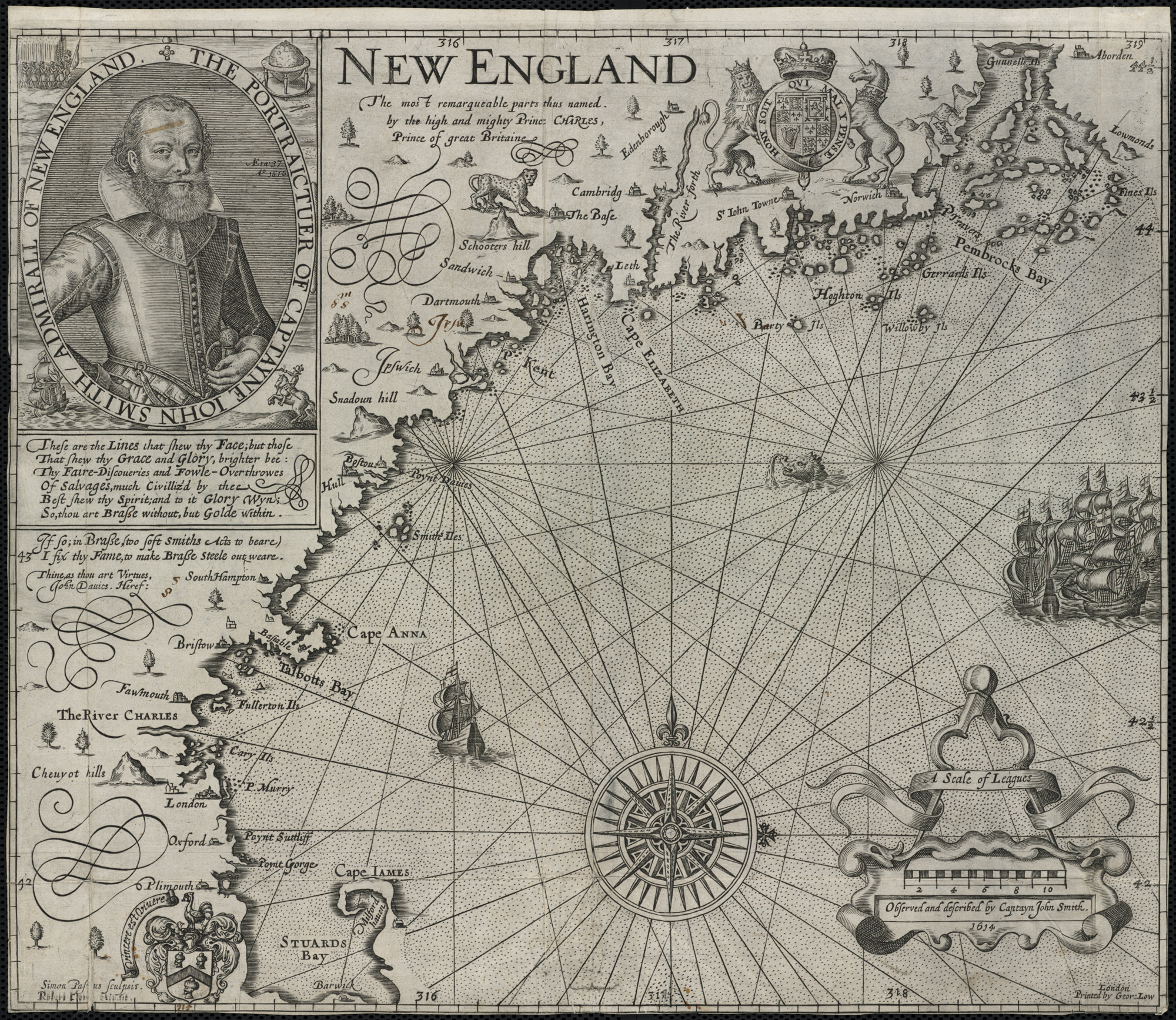
Map of New England by Captain John Smith
Printed by Geor. Low, 1624 CE
Based on Smith's 1614 CE voyage, this is the first printed map to use the name “New England” for the region and was used by the pilgrims who founded Plymouth Colony.
License & Copyright
 This image was first published on Flickr.
Original image by Norman B. Leventhal Map Center. Uploaded by Ibolya Horvath, published on 24 November 2020. The copyright holder has published this content under the following license: Creative Commons Attribution. This license lets others distribute, remix, tweak, and build upon your work, even commercially, as long as they credit you for the original creation. When republishing on the web a hyperlink back to the original content source URL must be included. Please note that content linked from this page may have different licensing terms.
This image was first published on Flickr.
Original image by Norman B. Leventhal Map Center. Uploaded by Ibolya Horvath, published on 24 November 2020. The copyright holder has published this content under the following license: Creative Commons Attribution. This license lets others distribute, remix, tweak, and build upon your work, even commercially, as long as they credit you for the original creation. When republishing on the web a hyperlink back to the original content source URL must be included. Please note that content linked from this page may have different licensing terms.
Related Images
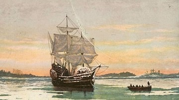
Mayflower in Plymouth Harbor
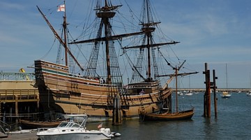
Mayflower II
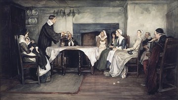
Stony Ground
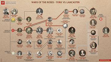
Wars of the Roses - York vs. Lancaster
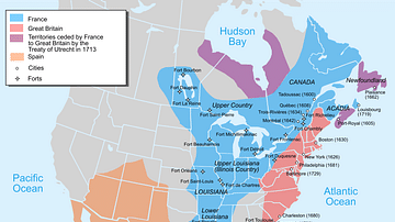
Map of New France, 1750 CE
Cite This Work
APA Style
Center, N. B. L. M. (2020, November 24). Map of New England. World History Encyclopedia. Retrieved from https://www.worldhistory.org/image/13162/map-of-new-england/
Chicago Style
Center, Norman B. Leventhal Map. "Map of New England." World History Encyclopedia. Last modified November 24, 2020. https://www.worldhistory.org/image/13162/map-of-new-england/.
MLA Style
Center, Norman B. Leventhal Map. "Map of New England." World History Encyclopedia. World History Encyclopedia, 24 Nov 2020. Web. 18 Apr 2024.