---
title: 15-century CE Nautical Map
author: Gallica Digital Library
source: https://www.worldhistory.org/image/12877/15-century-ce-nautical-map/
format: machine-readable-alternate
updated: 1970-01-01
---
# 15-century CE Nautical Map
_Authored by Gallica Digital Library_
## Image File
[](https://www.worldhistory.org/uploads/images/12877.jpg)
## Image Caption
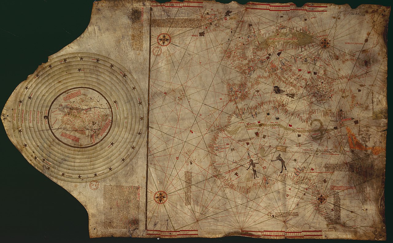
Nautical chart of the North-East Atlantic Ocean, the Baltic Sea, the [Mediterranean](https://www.worldhistory.org/disambiguation/mediterranean/) Sea and the Black Sea, accompanied by a circular world map. Alleged author: Cristopher [Columbus](https://www.worldhistory.org/Christopher_Columbus/) (l. 1451-1506 CE) Gallica Digital Library
## Cite This Work
### APA
Library, G. D. (2020, October 09). 15-century CE Nautical Map. *World History Encyclopedia*.
### Chicago
Library, Gallica Digital. "15-century CE Nautical Map." *World History Encyclopedia*, October 09, 2020. .
### MLA
Library, Gallica Digital. "15-century CE Nautical Map." *World History Encyclopedia*, 09 Oct 2020, .
## License & Copyright
[Original image](https://commons.wikimedia.org/wiki/File:ColombusMap.jpg) by [**Gallica Digital Library**](https://commons.wikimedia.org/wiki/File:ColombusMap.jpg). Submitted by [Ibolya Horváth](https://www.worldhistory.org/user/horvath.ibolya/ "User Page: Ibolya Horváth"), published on 09 October 2020. The copyright holder has published this content under the following license: [Public Domain](http://en.wikipedia.org/wiki/Public_domain). This item is in the public domain, and can be used, copied, and modified without any restrictions. Please note that content linked from this page may have different licensing terms.