
Illustration

A map in German of central Europe during the time of the Hohenstaufen Emperors, primarily showing the territories of the Holy Roman Empire and the Kingdom of Sicily.
The map is a vectorised version of this map from Professor G. Droysens Allgemeiner Historischer Handatlas, which was published in 1886 CE.
Yellow: Imperial and Hohenstaufen territory.
Purple: Ecclesiastical territories (Papal States, territory of the Teutonic Order, Prince-(Arch)bishoprics and abbeys).
License & Copyright
 Based on Wikipedia content that has been reviewed, edited, and republished.
Original image by Alphathon. Uploaded by Ibolya Horvath, published on 13 May 2020. The copyright holder has published this content under the following license: Creative Commons Attribution-ShareAlike. This license lets others remix, tweak, and build upon a work even for commercial reasons, as long as they credit the author and license their new creations under the identical terms. When republishing on the web a hyperlink back to the original content source URL must be included. Please note that content linked from this page may have different licensing terms.
Based on Wikipedia content that has been reviewed, edited, and republished.
Original image by Alphathon. Uploaded by Ibolya Horvath, published on 13 May 2020. The copyright holder has published this content under the following license: Creative Commons Attribution-ShareAlike. This license lets others remix, tweak, and build upon a work even for commercial reasons, as long as they credit the author and license their new creations under the identical terms. When republishing on the web a hyperlink back to the original content source URL must be included. Please note that content linked from this page may have different licensing terms.
Related Images
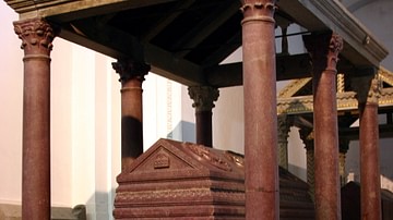
Tomb of Holy Roman Emperor Frederick II
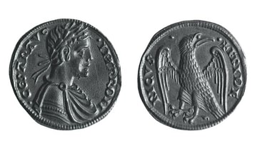
Coin of Holy Roman Emperor Frederick II
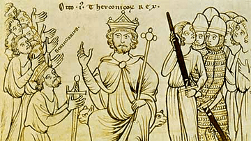
Berengar II of Italy’s Submission to Otto the Great
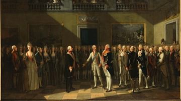
Declaration of Pillnitz
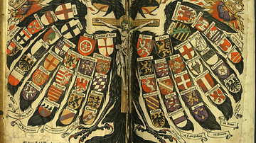
Quaternion Eagle of the Holy Roman Empire

Frederick II & Al-Kamil
Cite This Work
APA Style
Alphathon, . (2020, May 13). Holy Roman Empire in the 13th century CE. World History Encyclopedia. Retrieved from https://www.worldhistory.org/image/12234/holy-roman-empire-in-the-13th-century-ce/
Chicago Style
Alphathon, . "Holy Roman Empire in the 13th century CE." World History Encyclopedia. Last modified May 13, 2020. https://www.worldhistory.org/image/12234/holy-roman-empire-in-the-13th-century-ce/.
MLA Style
Alphathon, . "Holy Roman Empire in the 13th century CE." World History Encyclopedia. World History Encyclopedia, 13 May 2020. Web. 25 Apr 2024.