
Illustration
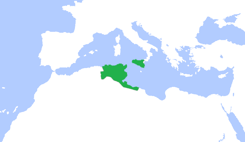
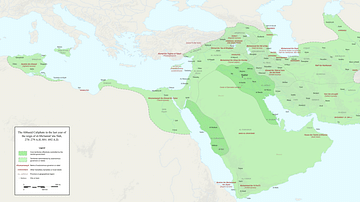
This is a map showing the greatest extent of the Aghlabids (800-909 CE).
License & Copyright
 Based on Wikipedia content that has been reviewed, edited, and republished.
Original image by LuzLuz31. Uploaded by Syed Muhammad Khan, published on 18 March 2020. The copyright holder has published this content under the following license: Creative Commons Attribution-ShareAlike. This license lets others remix, tweak, and build upon a work even for commercial reasons, as long as they credit the author and license their new creations under the identical terms. When republishing on the web a hyperlink back to the original content source URL must be included. Please note that content linked from this page may have different licensing terms.
Based on Wikipedia content that has been reviewed, edited, and republished.
Original image by LuzLuz31. Uploaded by Syed Muhammad Khan, published on 18 March 2020. The copyright holder has published this content under the following license: Creative Commons Attribution-ShareAlike. This license lets others remix, tweak, and build upon a work even for commercial reasons, as long as they credit the author and license their new creations under the identical terms. When republishing on the web a hyperlink back to the original content source URL must be included. Please note that content linked from this page may have different licensing terms.
Related Images
Polynesian Migration Map
Transatlantic Triangular Trade Map
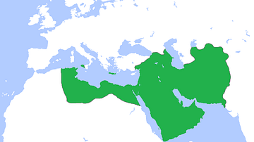
Map of the Abbasid Empire
Fragmentation of the Abbasid Empire (891-892 CE)

Earliest Abbasid Era Manuscript
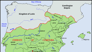
The Emirate of Cordoba
Cite This Work
APA Style
LuzLuz31, . (2020, March 18). Map of Aghlabid Emirate. World History Encyclopedia. Retrieved from https://www.worldhistory.org/image/12006/map-of-aghlabid-emirate/
Chicago Style
LuzLuz31, . "Map of Aghlabid Emirate." World History Encyclopedia. Last modified March 18, 2020. https://www.worldhistory.org/image/12006/map-of-aghlabid-emirate/.
MLA Style
LuzLuz31, . "Map of Aghlabid Emirate." World History Encyclopedia. World History Encyclopedia, 18 Mar 2020. Web. 25 Apr 2024.