
Illustration
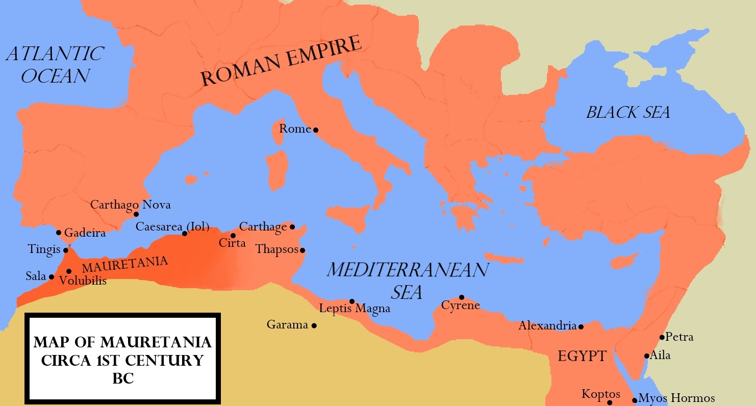
A map of the Kingdom of Mauretania, circa late 1st Century BCE.
About the Author

Arienne King is a student and freelance writer with a passion for history, archaeology, and digital media. She runs the blog Muses & Mayhem and is the Media Editor for Ancient History Encyclopedia.
Related Images
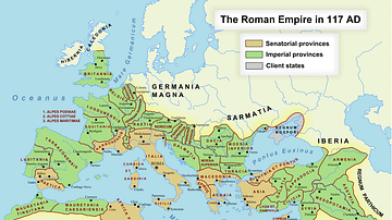
Image
Roman Empire in 117 CE
Map of the Roman Empire at its maximum extent in 117 CE, under...
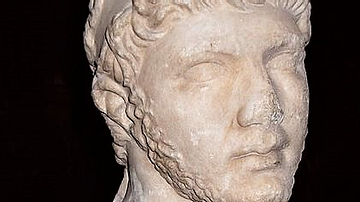
Image
Bust of Ptolemy of Mauretania, Louvre
A marble bust of King Ptolemy of Mauretania (c. 10 BCE - c. 40...
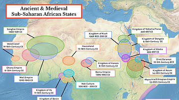
Image
Map of Ancient & Medieval Sub-Saharan African States
A map indicating the major ancient and medieval states in sub-Saharan...
Image
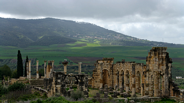
Basilica & Capitoline Temple of Volubilis
A view of the Basilica and Capitoline Temple in Volubilis the old...
Image
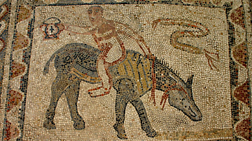
House of the Athlete Mosaic, Volubilis
A Roman mosaic depicting an athlete riding a donkey backwards...
Image
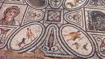
House of the Knight Mosaic, Volubilis
A Roman mosaic from the House of the Knight, Volubilis.
Cite This Work
APA Style
King, A. (2019, May 24). Map of the Kingdom of Mauretania. World History Encyclopedia. Retrieved from https://www.worldhistory.org/image/10796/map-of-the-kingdom-of-mauretania/
Chicago Style
King, Arienne. "Map of the Kingdom of Mauretania." World History Encyclopedia. Last modified May 24, 2019. https://www.worldhistory.org/image/10796/map-of-the-kingdom-of-mauretania/.
MLA Style
King, Arienne. "Map of the Kingdom of Mauretania." World History Encyclopedia. World History Encyclopedia, 24 May 2019. Web. 18 Apr 2024.