---
title: Map of Mutapa
author: Willem Janszoon Blaeu
source: https://www.worldhistory.org/image/10251/map-of-mutapa/
format: machine-readable-alternate
updated: 1970-01-01
---
# Map of Mutapa
_Authored by Willem Janszoon Blaeu_
## Image File
[](https://www.worldhistory.org/uploads/images/10251.jpg)
## Image Caption
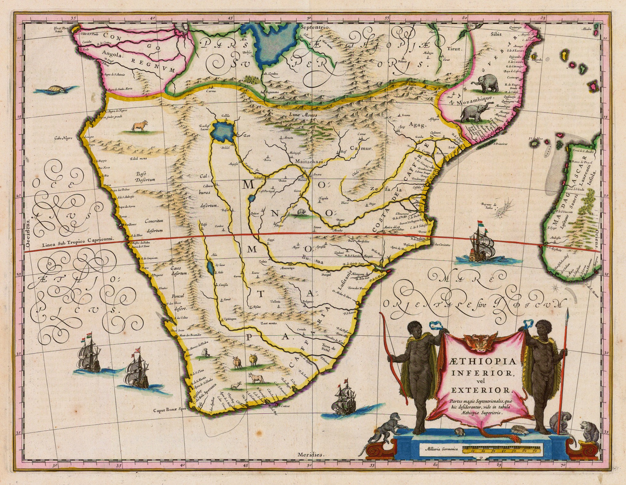
A 1635 CE map of southern [Africa](https://www.worldhistory.org/disambiguation/africa/) by Willem Janszoon Blaeu. It shows the kingdom of Monomotapa (aka [Mutapa](https://www.worldhistory.org/Mutapa/)), although it inaccurately shows the kingdom's spread over a far larger area than it actually controlled around the Zambezi River.
## Cite This Work
### APA
Blaeu, W. J. (2019, March 18). Map of Mutapa. *World History Encyclopedia*.
### Chicago
Blaeu, Willem Janszoon. "Map of Mutapa." *World History Encyclopedia*, March 18, 2019. .
### MLA
Blaeu, Willem Janszoon. "Map of Mutapa." *World History Encyclopedia*, 18 Mar 2019, .
## License & Copyright
[Original image](https://en.wikipedia.org/wiki/File:Monomotapa_Map.jpg) by [**Willem Janszoon Blaeu**](https://en.wikipedia.org/wiki/File:Monomotapa_Map.jpg). Submitted by [Mark Cartwright](https://www.worldhistory.org/user/markzcartwright/ "User Page: Mark Cartwright"), published on 18 March 2019. The copyright holder has published this content under the following license: [Public Domain](http://en.wikipedia.org/wiki/Public_domain). This item is in the public domain, and can be used, copied, and modified without any restrictions. Please note that content linked from this page may have different licensing terms.